StreetShape
A civic technology platform for redesigning real streets, comparing alternatives, and turning local ideas into visual proposals for public discussion.
Overview
- Role
- Founder / Developer
- Status
- In Development
- Technology
- Next.jsReactTypeScriptMapLibreSupabasePostgreSQLPostGISClerk
- Year
- 2026
- Focus
- Street design and civic participation
- Output
- Visual concepts and structured proposals
The Project
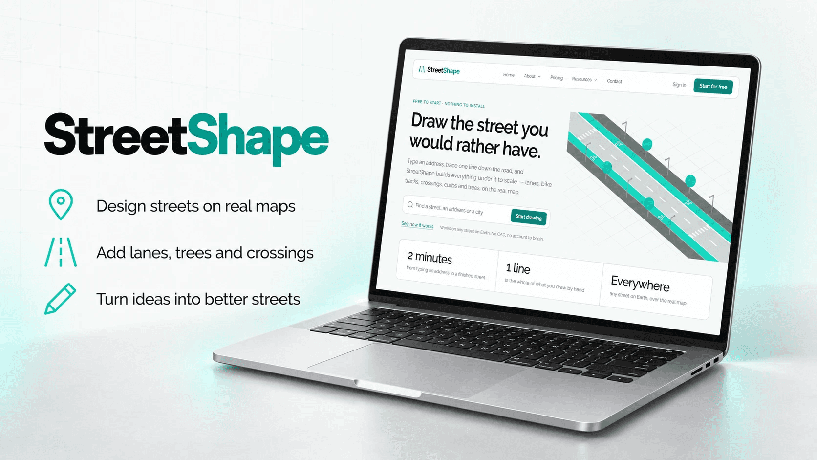
StreetShape is a browser-based platform for imagining how real streets could work differently. It brings street design, visual communication, and civic participation into the same project: a place where someone can draw a proposed change and explain it in its geographic context.
I am developing StreetShape as an independent product at the intersection of political science and software development. Its central question is practical: how can people contribute to decisions about public space when they have local knowledge but no specialist design training?
The Problem
A resident may know exactly where a crossing is missing, a sidewalk narrows, or a cycling route becomes difficult to follow. Explaining a possible improvement is harder. A written comment can identify the problem without showing how a different arrangement might work.
StreetShape approaches that gap through visual proposals. A design gives people something concrete to discuss: where a crossing would go, how parking would change, or which parts of a street would gain more space. The aim is to make those choices easier to express and compare.
How the Editor Works
The editor places a design over a real map. Users draw roads and configure their lanes, sidewalks, cycling infrastructure, parking, and medians. Roads carry these properties as editable objects, so changing a layout updates its geometry.
Junctions are generated where roads meet. Crossings, trees, lighting, signs, and street furniture add detail, while transit and public-space tools extend the design beyond traffic lanes. The interaction is intended to feel closer to building a small city than preparing a technical drawing.
Saving, undo and redo, collaboration, and version history support continued work on a proposal. Shared links and image exports help explain a design to other people. Plan sheets and vector exports provide additional ways to carry the work into presentations and planning discussions.
Making Trade-offs Visible
Street design involves choices about limited space. Adding a cycle track, widening a sidewalk, or changing parking alters the arrangement around it. StreetShape connects its visual editor to measurements derived from the design, including lengths, areas, and counts.
Version comparisons make changes between alternatives visible. They help explain what a revision adds, removes, or reallocates, with the reference for each comparison identified. A previous design is not automatically a record of the street as it exists.
These measurements describe the concept that was drawn. They support discussion without assigning a universal score to a street or claiming that a proposal has passed an engineering assessment.
From Design to Participation
The civic layer is built around connecting proposals to places and recording what happens next. Its implemented workflows cover proposal submission, community discussion and support, consultations, and a municipal workspace for reviewing submissions and publishing updates.
Municipal submission depends on a participating municipality opening its board for the location. A shared design can still support a local conversation when that formal route is unavailable. The wider ambition is a clearer connection between residents' ideas and institutional responses.
Street issue reporting provides another entry point. Someone can document a local problem with a photo, location, and explanation without preparing a redesign. The reporting workflow distinguishes a claimed fix from a verified one, keeping the evidence separate from the status announcement.
My Role
As founder and developer, I work across the product concept, interface, technical architecture, and public-facing communication. This includes the street editor and geometry systems, alongside the proposal workflows and explanations that make the platform understandable.
My political science background informs the questions behind the product: who can participate, how feedback becomes useful to public administration, and how institutions explain their responses. Development turns those questions into specific decisions about submissions, comparisons, moderation, and public records.
StreetShape brings together my interests in public policy, visual communication, and interactive software. It also involves product planning and the practical work of developing a service for individuals, civil society organizations, and public bodies.
Design and Development
The core technical challenge is keeping a street coherent as it changes. Roads, lanes, junctions, markings, and surrounding objects must remain connected as the user edits a plan. The geometry engine translates those choices into the shapes shown on screen.
The application uses Next.js, React, and TypeScript, with MapLibre for the map interface. Supabase provides the PostgreSQL database, PostGIS supports geographic queries, and Clerk handles authentication.
Public proposals preserve a submitted version of the design. Their measurements are calculated from that version, giving the proposal and its figures a common reference even as the author continues working.
Current Stage
StreetShape is under active development. The codebase includes the core editor, collaboration, comparisons, exports, and substantial civic functionality. Development continues on remaining product details and operational readiness.
Three-dimensional renders, animated video explanations, and AI-assisted design remain planned capabilities. The present focus is on creating and communicating street-design concepts. Decisions about construction, compliance, and engineering remain with the professionals and institutions responsible for them.